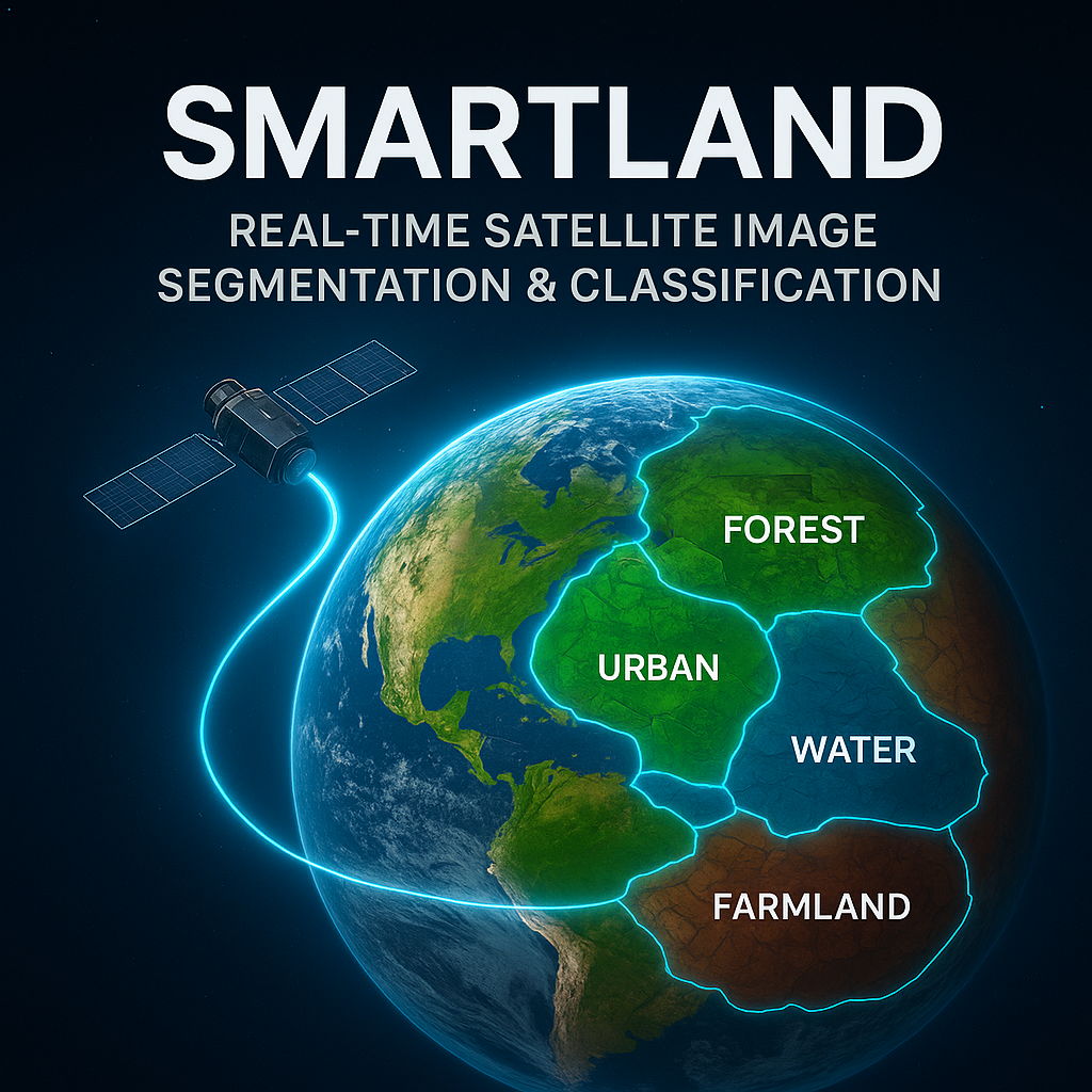
SmartLand: Real-Time Satellite Image Segmentation and Classification Using YOLOv8 for Sustainable Land Monitoring
Abstract
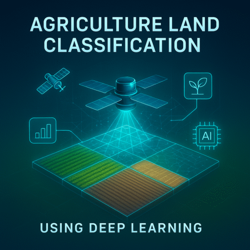
The project focuses on real-time satellite image segmentation using YOLOv8 for detecting and classifying land regions into three categories: Agriculture Lands, Water Bodies, and Urban Buildings. By leveraging advanced deep learning and object detection models, the system automates segmentation, providing higher accuracy and speed compared to traditional methods. The backend is developed using Flask, while the frontend uses HTML, CSS, and JavaScript to offer a user-friendly web interface for uploading images and visualizing results. This solution can significantly contribute to urban planning, environmental monitoring, and resource management, enabling timely insights into land usage for sustainable development.
Keywords: YOLOv8, Satellite Image Segmentation, Flask Framework, Real-time Classification, Sustainable Land Monitoring.
Introduction
Satellite imagery plays a crucial role in land-use analysis, environmental monitoring, and urban development. However, the manual or semi-automated methods traditionally employed for segmentation are often slow, error-prone, and unsuitable for large-scale datasets.
This project, SmartLand, proposes a deep learning-based framework using YOLOv8 to automate segmentation of satellite images into Agriculture Lands, Water Bodies, and Urban Buildings. With a Flask-powered backend and a lightweight web-based frontend, the system provides real-time processing, allowing users to upload images and instantly visualize segmented outputs.
The project contributes to sustainable land monitoring by providing decision-makers with timely and accurate insights for planning, resource allocation, and environmental conservation.
Problem Statement
Traditional satellite image segmentation is:
- Time-consuming, requiring manual intervention.
- Inaccurate, especially for diverse land categories.
- Non-scalable, struggling with large datasets.
- Inefficient for real-time applications.
There is a lack of an automated system that can process satellite images efficiently, accurately segmenting land into meaningful categories. This project addresses these challenges by employing YOLOv8, a robust and high-speed deep learning model for real-time land classification.
Existing System
Existing segmentation systems often rely on:
- Manual Labelling – Time-intensive and prone to human error.
- Classical Algorithms (e.g., K-means clustering, region growing, thresholding) – Limited accuracy for complex satellite data.
- Conventional ML models – Not optimized for object detection in high-resolution satellite images.
Disadvantages of Existing Systems
- Time-consuming manual processes.
- Inconsistent results with traditional algorithms.
- Poor scalability for large datasets.
- Lack of real-time image processing.
- Limited accuracy in detecting specific land categories.
- High dependency on expert intervention.
Proposed System
The SmartLand system uses YOLOv8, a state-of-the-art object detection algorithm, for accurate and real-time segmentation of satellite images into Agriculture Lands, Water Bodies, and Urban Buildings.
The system includes:
- YOLOv8 Model – For precise object detection and classification.
- Flask Backend – To handle requests and process images.
- Web-based Frontend – Built with HTML, CSS, and JavaScript for user-friendly interactions.
Advantages of Proposed System
- Automated segmentation with minimal manual effort.
- High accuracy using deep learning.
- Real-time processing capability.
- Scalable for large and diverse satellite datasets.
- Web-based, platform-independent interface.
- Provides actionable insights for agriculture, urban development, and environmental management.
System Modules
- Data Preprocessing Module
- Collect and clean satellite image datasets.
- Resize, normalize, and annotate training data.
- Model Training Module
- Train YOLOv8 with annotated satellite images.
- Optimize hyperparameters for better detection accuracy.
- Image Segmentation Module
- Upload and process new satellite images.
- Detect and classify land regions in real-time.
- Visualization Module
- Highlight segmented regions on the image.
- Provide a legend for Agriculture, Water, and Urban areas.
- Web Application Module
- Flask backend for model integration.
- HTML/CSS/JS frontend for image upload and results display.
- Database Module (Optional)
- Store processed results and user uploads in MySQL.
- Enable future scalability and analytics.
Algorithms Used
- YOLOv8 (You Only Look Once, Version 8)
- Real-time object detection and segmentation algorithm.
- Detects multiple categories in a single forward pass.
- High accuracy and speed for large image datasets.
- Flask Framework
- Lightweight Python-based web framework for backend processing.
- MySQL Database
- For storing metadata, user data, and processed results (optional).
System Requirements
Hardware Requirements
- Operating System: Windows 7 or later
- RAM: 8 GB minimum
- Processor: Intel i5 3rd Gen or Ryzen equivalent
- Storage: 500 GB HDD/SSD
Software Requirements
- Programming Language: Python 3.10+
- Frameworks: Flask, YOLOv8 (Ultralytics)
- IDE/Editor: Visual Studio Code / PyCharm
- Server: XAMPP Server (for MySQL integration)
- Database: MySQL
Conclusion
The SmartLand system successfully demonstrates real-time segmentation and classification of satellite images into Agriculture Lands, Water Bodies, and Urban Buildings using YOLOv8. It overcomes the limitations of traditional methods by offering automation, speed, scalability, and higher accuracy. The web-based interface ensures accessibility, making it useful across multiple industries.
Future Enhancements
- Addition of More Categories – e.g., Forests, Roads, Industrial Zones.
- Integration with GIS Systems – For geographic mapping and analysis.
- Cloud Deployment – To handle larger datasets and global accessibility.
- Mobile Application – For on-the-go land monitoring.
- AI-based Predictive Analysis – For forecasting urban growth and agricultural yield.


Reviews
There are no reviews yet.